Regional
Navigation
Search
Category
Trekking world: the best treks around the world
 @ trekking-world.com you'll find a lot of information about trekking and the most beautiful countries and regions for trekking. It is an interactive platform where you can share your (trekking) experiences with other visitors and give comments about treks, trekking or travel agencies and accommodation. Help other visitors to get the best out of their trekking experiences by sharing your knowledges about good places to visit or places to avoid.
Below you will find the top hiking destinations, treks and trekking agencies around the world. For all other hiking information choose the country of your interest in the menu on the left side.
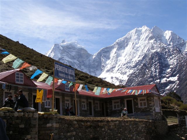
 Or go directly to the Everest Base Camp trek , this trek in Nepal is one of the most popular treks in the world.
Our visitors are welcome to help us by sending their feedback about their favorite treks, experiences with trekking-agencies, accommodation and other relevant information. Please don't hesitate to contact us through: .
If you want to add a hotel, guest house, trekking agency, restaurant or provide other suggestions, please submit this url through submit your/a homepage.